Capturing critical data for hard-to-reach water assets
The challenge
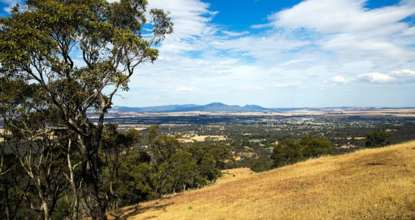
Located within the forested landscapes of western Victoria, the Mt Cole Dam and Rocklands Tunnel sit in remote, rugged terrain where access is naturally challenging. These assets are critical water infrastructure assets that support water storage, conveyance and supply across rural Victoria’s water network.
GWM Water required a safe, accurate and efficient method to capture detailed visual and spatial asset data across both sites, despite the access challenges and complex site conditions.
The conditions made traditional inspection methods difficult, creating the need for a more innovative approach. At Mt Cole, reality modelling was critical to assess the current dam wall condition to plan remediation works and inform the design of a temporary access walkway for targeted testing. At Rocklands Tunnel, prolonged inaccessibility meant the asset had not been inspected for some time. Site conditions added further complexity, with rain and overtopping at Mt Cole impacting capture conditions, while at Rocklands, using a multi-camera drone mounted rig allowed full 360 imaging of the confined environment.
Our approach
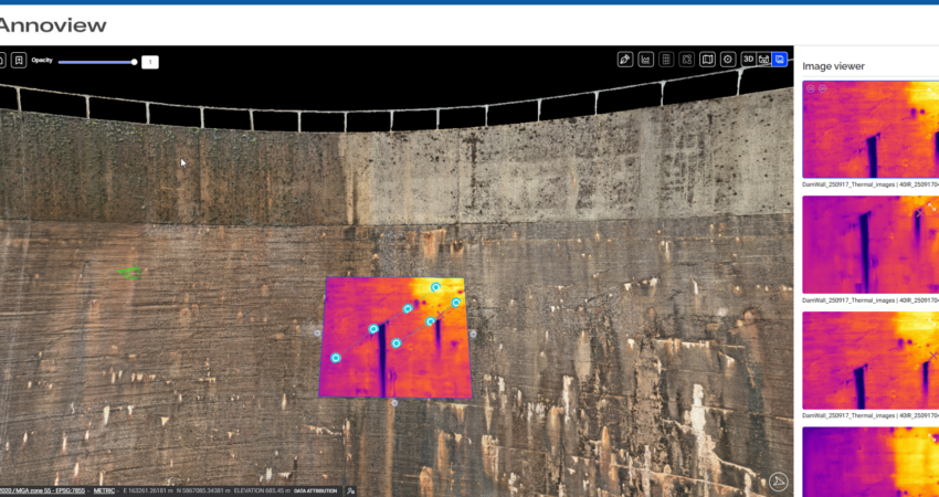
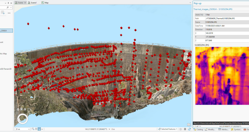
To overcome this, the MEnD team used drone-based photogrammetry and multi- camera imaging to capture high-resolution data across both sites. Photogrammetric modelling, combined with thermal imagery, enabled detailed crack mapping and identification of seepage, with all data modelling and crack mapping delivered through the client’s GIS platform for long-term use.
The solution
In total, 11 cameras and three robotic systems were deployed, allowing the team to safely capture detailed data. This approach not only improved defect detection but also reduced risk to personnel while creating a reusable dataset for future assessment.
The result is a modern, data-driven inspection approach that unlocks deeper insight, enhances defect detection, reduces personnel risk, and enables smarter long-term maintenance through a reusable dataset.